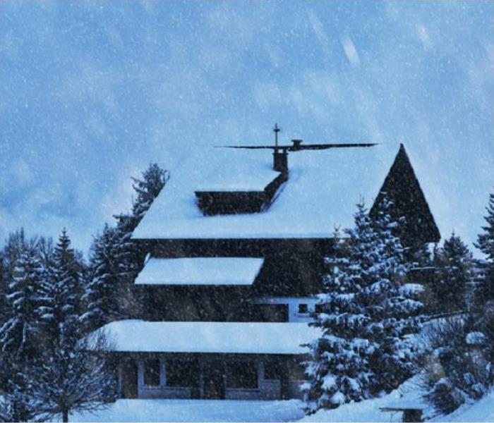
Winter Weather in Winston Salem
9/2/2020 (Permalink)
 While we hope you never experience a disaster in your home, we do know we are ready to help you restore it in the event of one
Types of Winter Precipitation We Can Expect In Winston Salem
- Cold Rain
If precipitation falls through a large depth of the atmosphere frozen but encounters a relatively deep layer of above freezing air at the surface, then the frozen precipitation may completely melt and have no opportunity to refreeze. Thus, what traveled almost the entire trip to the ground as snow may end up falling as a cold rain instead of anything frozen or freezing - Snow
Precipitation begins as snow and if it doesn’t encounter any layers of air that are above freezing before reaching the ground, it will fall to the surface in the form of snow. - Sleet
If the snowflakes encounter a shallow layer of warm, above freezing air with below freezing air through the rest of the column, then it will partially melt and refreeze into a sleet pellet before reaching the ground. - Freezing Rain
If the snow falls into a deep layer of above freezing air with only a shallow layer of below freezing air located at the surface, (which is often the case with cold air damming,) then the liquid droplets will freeze on contact with any objects (such as trees, power lines, and roads) at the surface that are below freezing.
The next two are possible but historically unlikely, but we are seeing them more and more in Winston Salem.
- Blizzards
Dangerous winter storms that are a combination of blowing snow and wind resulting in very low visibility. While heavy snowfalls and severe cold often accompany blizzards, they are not required. Sometimes strong winds pick up snow that has already fallen, creating a ground blizzard. - Ice Storm
a storm which results in the accumulation of at least .25” of ice on exposed surfaces. They create hazardous driving and walking conditions. Tree branches and powerlines can easily snap under the weight of the ice.


 24/7 Emergency Service